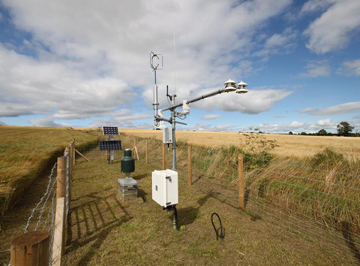
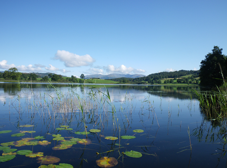
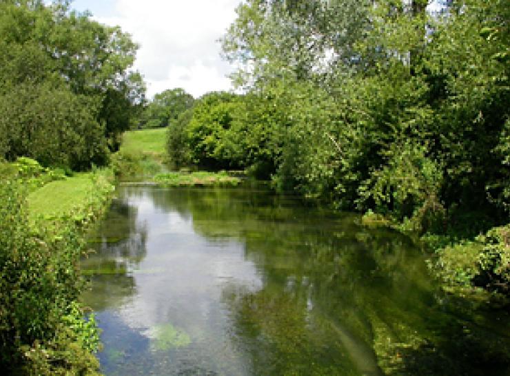
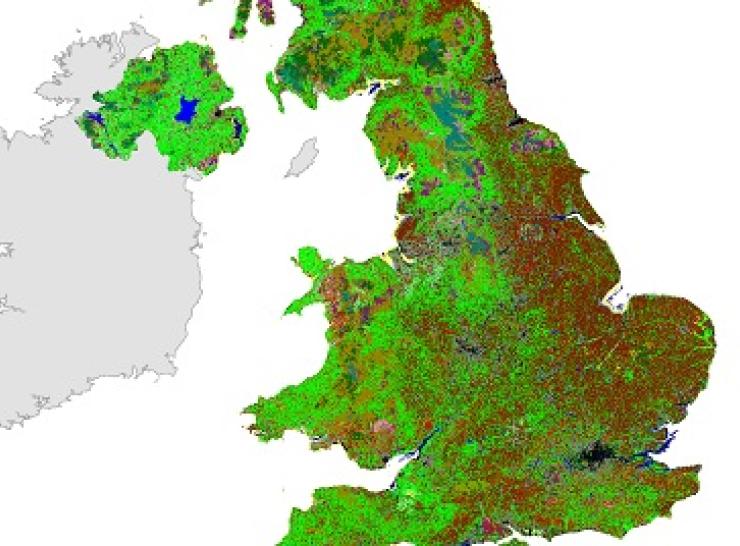
At UKCEH, we are dedicated stewards of environmental data. Our science infrastructures and long-term monitoring programmes and resulting data, tools and models enable researchers across the UK to understand and predict environmental processes and change. We are committed to managing these datasets for the long term, so they can easily be accessed by all and used to inform environmental research, policy, innovation and conservation efforts around the world.
![7-spot Ladybird, Helen Roy](/sites/default/files/styles/tile_listing/public/images/7-spots%20Helen%20Roy%20%281%29%20crop%20resize.jpg?itok=rM6v4bd_)
Biological Records Centre
Uniting volunteers and technology to create useful terrestrial and freshwater datasets in the UK
![A COSMOS-UK soil moisture monitoring station in a field](/sites/default/files/styles/tile_listing/public/Gallery-cosmos-station-balruddery-767x540.jpg?itok=Bnwl6pod)
COSMOS-UK
Dig into our near real-time soil moisture dataset, measuring using cosmic rays at 47 sites around the UK.
![Wildflower margin and hedegrow](/sites/default/files/styles/tile_listing/public/2023-11/TILE_Asset%2001_STATIC_Countryside_Survey_370x274_0.jpg?itok=R2gpPD1N)
Countryside Survey
Keeping a watchful eye on the UK countryside since 1978
![Esthwaite Water, English Lake District](/sites/default/files/styles/tile_listing/public/Esthwaite%20August%2009%20062_%20EM%20724px%20twitter.png?itok=RGOxeSrN)
Cumbrian Lakes
Explore the world's most comprehensive dataset on lakes
![Sample picture test half and half](/sites/default/files/styles/tile_listing/public/2021-01/d8-filtered-puffin-740x546_1.jpg?itok=mytDL_kn)
Isle of May Long-Term Study
Explore the UK's most data-rich seabird monitoring study
![Dog violet flowers](/sites/default/files/styles/tile_listing/public/2024-05/dog-violet-npms.png?itok=egRrswQl)
National Plant Monitoring Scheme
Community-driven data on wild plants and habitat diversity
![River Lambourn](/sites/default/files/styles/tile_listing/public/river-lambourn-h-jarvie.jpg?itok=dB2k7cqO)
National River Flow Archive
Access daily data from more than 1600 long-term monitoring sites.
![Two UKCEH scientists sitting on board walks at Whim Bog](/sites/default/files/styles/tile_listing/public/2023-02/118260_whimbog-1080x1080_FF.jpg?itok=cWGFOLFQ)
Nitrogen experiments at Whim Bog
A globally unique study of how peatland ecosystems respond to different levels and forms of nitrogen deposition.
![Land Cover Map 2021](/sites/default/files/styles/tile_listing/public/2022-08/LCM2021-primary.jpg?itok=oG-kgMRY)
UKCEH Land Cover Maps
Discover detailed UKCEH Land Cover Maps, produced annually since 2017 using satellite data from Sentinel-2.
![Hoverfly on flower](/sites/default/files/styles/tile_listing/public/2022-01/TILE_hoverfly_myathropa_florae_Ross%20Newham_370x274.jpg?itok=RqVmgDai)
UK Pollinator Monitoring Scheme
Data from volunteer surveys helping to detect changes in pollinator populations
![Small pearl-bordered fritillary butterfly](/sites/default/files/styles/tile_listing/public/2024-05/TILE-small-pearlbordered-fritillary_740x548.jpg?itok=_A_eV-DR)
UK Butterfly Monitoring Scheme
Telling the story of how butterfly species have changed from almost 50 years of data.
![Image of a wildflower margin between a field and a hedgerow](/sites/default/files/styles/tile_listing/public/2023-11/TILE_newdata-from-nature-margin-370x274.png?itok=3yMkwV4I)
Explore all our data
Explore the range of data available via the following sites. Search by topic or research project name.
![E-Planner](/sites/default/files/styles/tile_listing/public/2023-05/map.png?itok=O2t_Fx5z)
UK-SCAPE Digital Assets Catalogue
Freely available datasets on the UK’s biodiversity, land, air, pollution, soil and water.
![UKSCAPE Logo](/sites/default/files/styles/tile_listing/public/2023-12/Web%20roundel.jpg?itok=3N5mZATM)
Learn more about the UK-SCAPE programme
Our UK monitoring programme for terrestrial and freshwater science.
![NERC data centre](/sites/default/files/styles/tile_listing/public/strips/tiles-block-chain-2853048_1920-370x274.png?itok=940J9JlO)
Environmental Information Data Centre
The EIDC manages nationally-important datasets concerned with the terrestrial and freshwater sciences.
![Word cloud showing words related to data](/sites/default/files/styles/tile_listing/public/2023-11/eip-wordCloud2.fw_.png?itok=-33TdUMf)
Environmental Information Platform
Access key UKCEH data holdings via web-based tools, programming interfaces and a data catalogue.
![Person lying in a meadow looking at flowers](/sites/default/files/styles/tile_listing/public/2023-02/TILE_wildlife_recording_MPocock_370x274.jpg?itok=JZ7eayhO)
Biological Records Centre
A national focus in the UK for terrestrial and freshwater species recording, established in 1964.