Here you can find resources, tools and case studies relevant to the West Africa region.

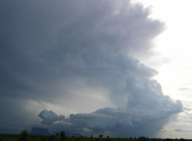
Nowcasting storms portal
This portal is designed to help forecasters in Sub-Saharan Africa to predict severe convective storms over the next few hours using near-real time satellite data — a process known as nowcasting.
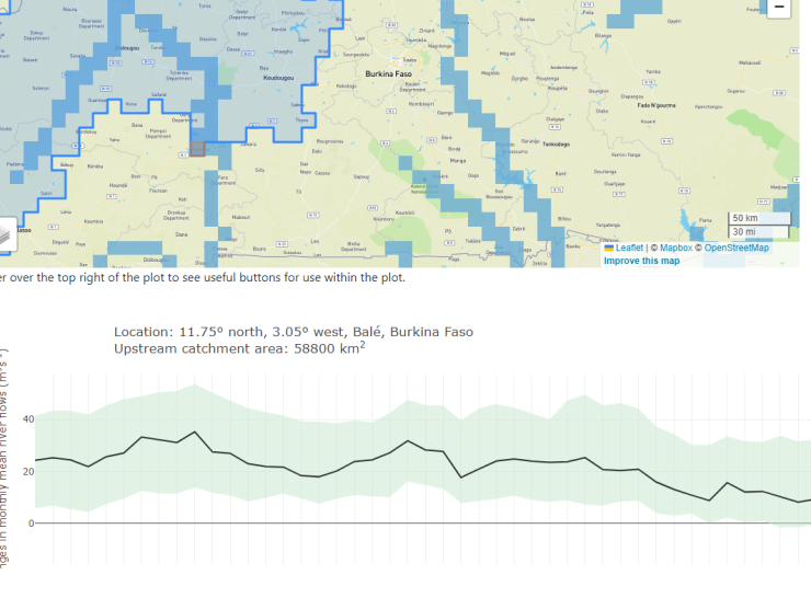
Projected changes in river flow across West Africa
Our Hydrological Modelling Framework-West Africa model provides estimates of projected changes in monthly mean river flows for the high flow season across West Africa and percentage change in annual maximum river flows.
GWAVA
Our GWAVA (Global Water Availability Assessment) model provides integrated analysis of water sources and demands at national to continental scales.
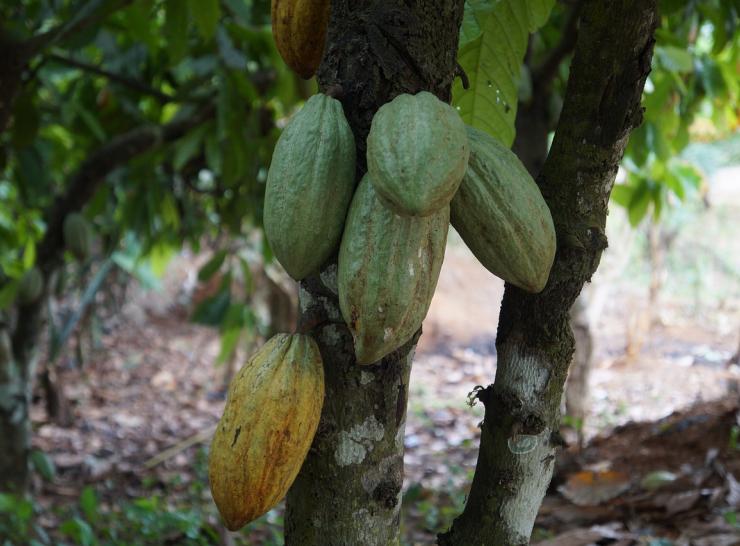
Co-Pod app
A co-produced mobile app to link people and practice to promote resilience in cocoa agroforestry in West Africa (Android only).
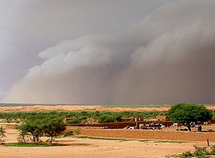
Mitigating the impacts of climate change in West Africa
National, city and local planning in Burkina Faso and Senegal are better informed by understanding climate-related risks.
Contact us
Get in touch with our West Africa Office team.