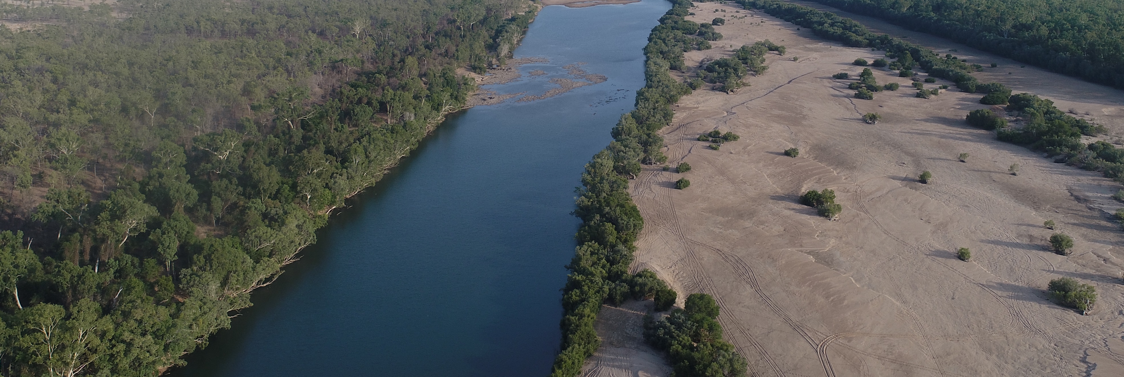
The international project team are using field site locations in the UK, Australia and Norway, and further afield, to test the methodology during high flood flow events. As we all know, one can never accurately predict rainfall, so the team has been agile, working with colleagues across Europe and Asia to ensure that sites are available where high quality, scientifically robust validation can take place. The innovative use of both fluvial and tidal field sites across multiple countries is helping to minimise the risks associated with the capture of individual flood events and allowing the testing of the methodology under multiple conditions.
Firstly, the team selects the site and timing of field-work based on expected flows/rainfall. This is then relayed to Planet to task the collection of video imagery using their SkySat satellite constellation at the same time as in-situ validation measurements of river surface velocity and discharge are being obtained by the Team. Synchronising these events enables the team to compare the ground-based data and the satellite-imagery for that site and time, providing a valuable ground-truthing dataset. Several different image velocimetry approaches currently used in ground-based monitoring are being tested by the Project Team for EO data, to develop recommendations for their operational use and ongoing development.


