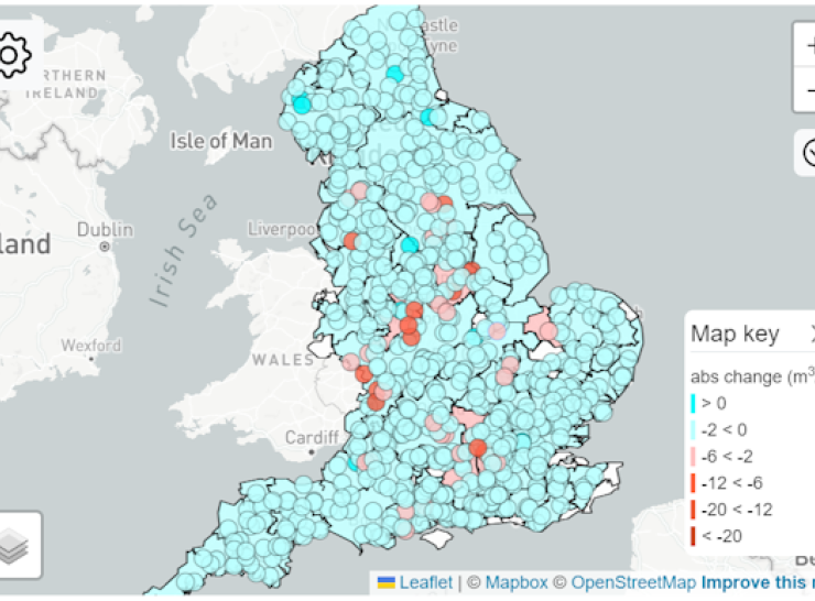
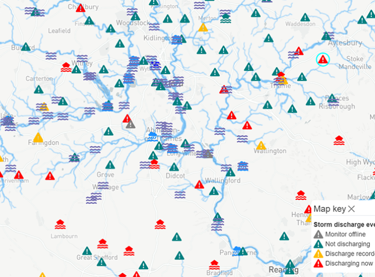
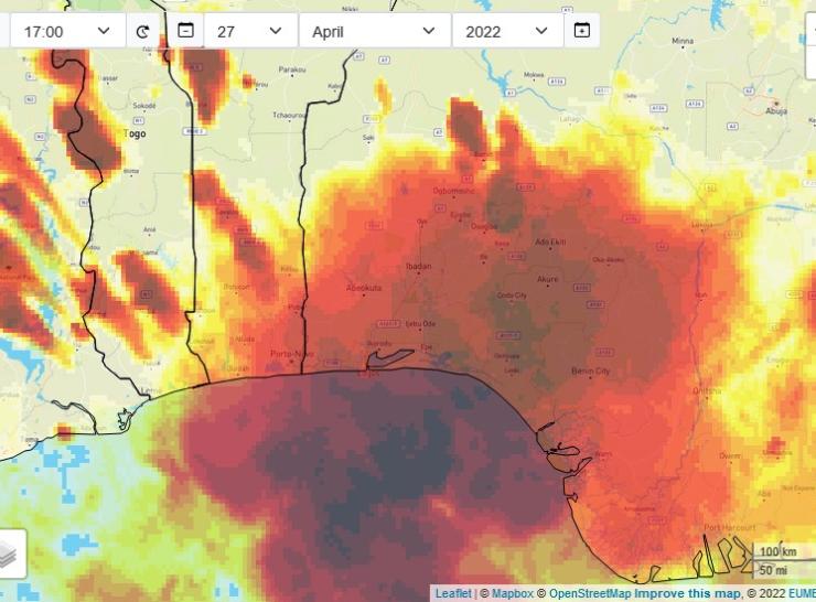
Our data portals enable you to visualise and interrogate some of the diverse environmental datasets held by UKCEH.
Our long-term environmental data
Environmental Information Platform
The Environmental Information Platform provides enhanced access to UKCEH's key data holdings via web-based tools, programming interfaces and a data catalogue. The Platform allows us to build applications for different audiences and to deliver datasets directly to end-users in the most appropriate way. The platform can also provide programmatic access to datasets where appropriate, to enable users to integrate datasets into their own research or applications. The portals available via the Environmental Information Platform make our research data accessible, searchable and reusable.
UK Water Resources Portal
Track the latest hydrological situation across the UK via our Water Resources Portal, which provides up-to-date data on river flows, rainfall, soil moisture and groundwater levels via an interactive map.
UK Hydrological Outlooks Portal
Visualise the model outputs from the Outlook, both spatially and in the form of a number of time series. Explore the hydrological forecasts for the next one to three months, and sometimes beyond.
UK Lakes Portal
Explore over 40,000 lakes across the UK via the UK Lakes Portal, which includes physical, environmental and water chemistry data spanning many sources and covering many years.
Flood Estimation Handbook
The Flood Estimation Handbook (FEH) and related software provide the industry-standard methods for assessing flood risk in the UK. The FEH Web Service supports these products.
Freshwater Data Portal
View citizen science data alongside agency monitoring data to visualise data about pressures on the environment as well as the way wildlife is responding to those pressures.
Hydrology in Sub-Saharan Africa
Nowcasting and projected future changes in river flows across Sub-Saharan Africa.
Climate change impacts on river flood peaks
Estimates of the impacts of climate change on river flood peaks across Great Britain, using a sensitivity-based approach which combines a grid-based hydrological model (Grid-to-Grid) with the UKCP18 probabilistic projections for river basin regions
CS-N0W future water resources data explorer
Visualizations of the results of extensive hydrological modelling work providing future projections of river flows across England, taking into account the impacts of both climate change and artificial influences (AI).
Drought data hub
Browse, access and download UK drought data including historical and climate change simulations
Enhanced Future Flows and Groundwater (eFLaG) Portal
Explore the outputs from the eFLaG dataset. The data are set a nationally consistent climatological and hydrological projections for 200 river flow catchments, 588 groundwater bodies and 54 groundwater boreholes covering the UK up to 2080.
GOVAQUA Oxford Rivers Portal
Find out current and past information about your local rivers and streams within Oxford and the surrounding area.
Explore the data portal to find out about the river conditions today. Delve deeper to investigate river water quality near you.
WMO HydroSOS
The first global operational mechanism for integrating hydrological status assessments and outlooks from, and for National Hydrological Services (NHS), in collaboration with River Basin Organisations and global modelling centres.
Loch Leven Portal
Find out about UKCEH's long term monitoring at Loch Leven. View yearly data, find resources for schools and learn about the biodiversity of the loch.
UK-SCAPE hydrological sensor data integration tool
A demonstration of the integration and visualisation of hydrological sensor data (often real-time) from diverse online sources.