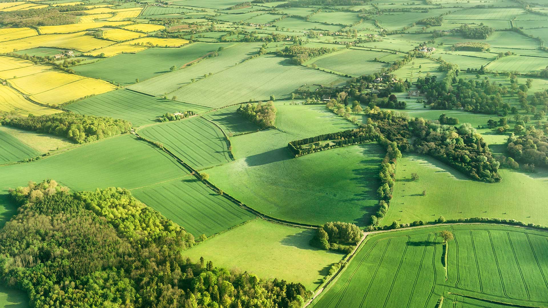
The Field Survey involves an in-depth study of a sample of 1km squares in the countryside.
Meet the Countryside Survey Team

Recent research outcomes from the UKCEH Countryside Survey
- the investigation of links between field data and Earth Observation data
- the usage of our data in Defra’s research programs
- the investigation of nectar plant yields in relation to pollinator decline
- modelling to demonstrate the possibility of predicting the size of the entire flora of Britain from a small sample of recording locations
- the usage of our data for testing plant species niche models for the British flora
- the development of a new habitat classification - UKHab
How have the findings been used?
The results from the UKCEH Countryside Survey have been used to:
- improve scientific understanding of the countryside’s landscape, vegetation, freshwater and soils
- monitor changes in the area and distribution of Broad Habitats* and some habitat types of special interest (e.g. hedgerows, arable field margins and upland heath)
- determine how the countryside’s natural resources respond to changes in land use, climate change and government policy
- underpin the UK Government’s reporting of biodiversity
- assess progress against target indicators in Biodiversity Strategies for the UK and the devolved countries.
*For more information on habitat types visit:
- Joint Nature Conservation Committee UK Habitat Classifications
- UK Biodiversity Action Plan: Priority Habitats associated with a particular Broad Habitat
Countryside Survey is a vital data source, particular for its use in measuring change in the quality of natural capital assets (habitats) outside of Protected Sites." Jane Lusardi, Natural England


